Advanced Drone LiDAR Surveying Solutions
High-Accuracy Aerial Surveying with a Focus on Commercial Land Surveying Jobs, Serving Residential, Industrial, and Infrastructure Projects
Our Core Services
Commercial Land Surveying
We specialize in large-scale commercial land surveying projects including industrial parks, shopping centers, office developments, and mixed-use sites. Our LiDAR systems deliver precise and actionable data for planning, permitting, and construction phases.
Construction Progress Monitoring
Track construction activity with periodic LiDAR scans, elevation profiling, and change detection analytics to ensure compliance and optimize timelines.
Residential Land Surveys
Delivering high-resolution topographic data and boundary mapping tailored for homeowners, residential developers, and real estate professionals.
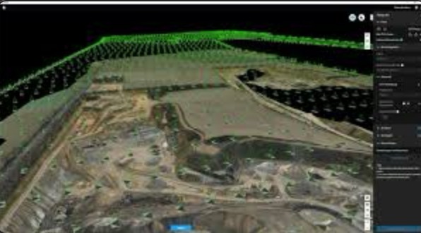
Precision LiDAR Mapping
Utilizing state-of-the-art drone systems to generate highly accurate geospatial data with sub-inch precision for terrain analysis, site planning, and environmental modeling.
Why Partner with Summit Surveying Group?
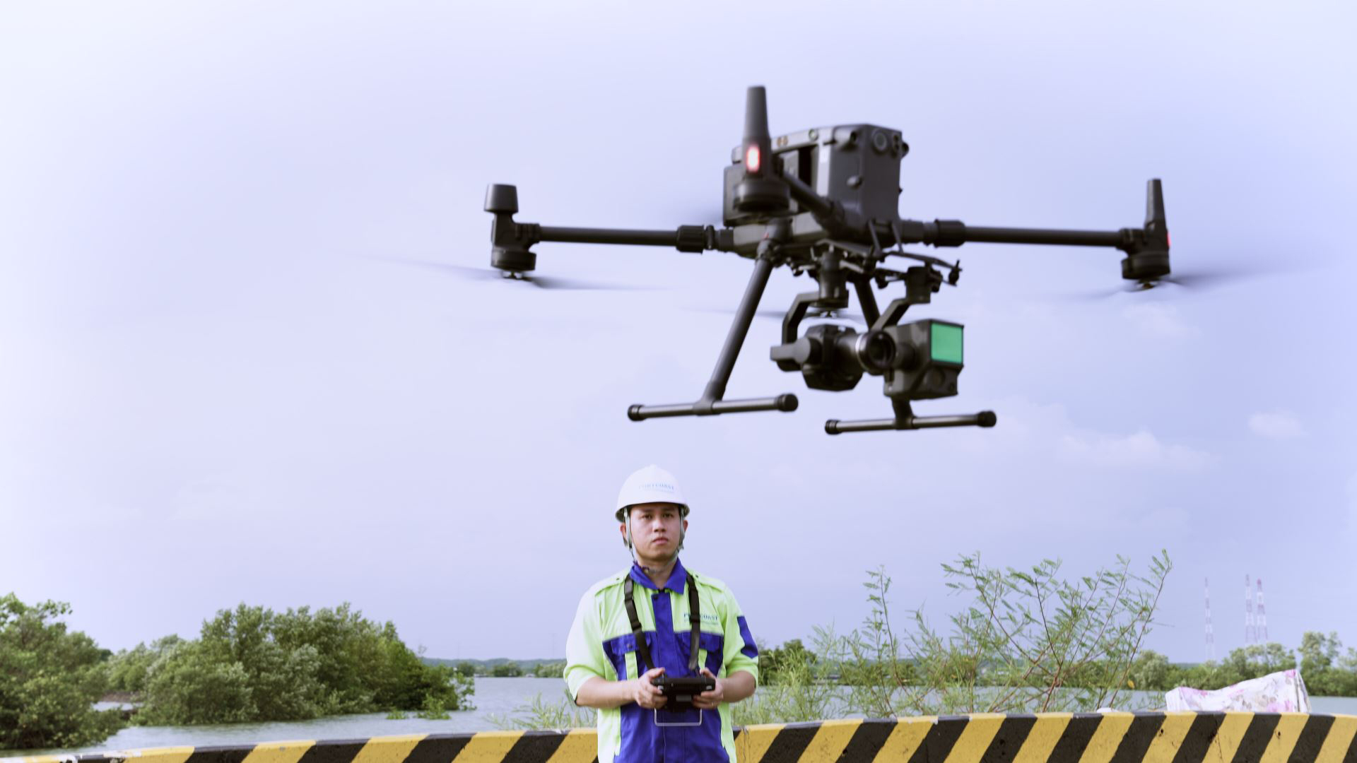
At Summit Surveying Group, we combine certified expertise with cutting-edge drone LiDAR technology to deliver actionable geospatial insights. Our streamlined workflows enable rapid data acquisition and processing while ensuring precision, safety, and affordability.
- FAA-licensed UAV pilots and certified technicians
- High-fidelity LiDAR scanning equipment
- Flexible pricing for projects of all sizes
- Comprehensive reporting with data formats of your choice
Industries We Serve
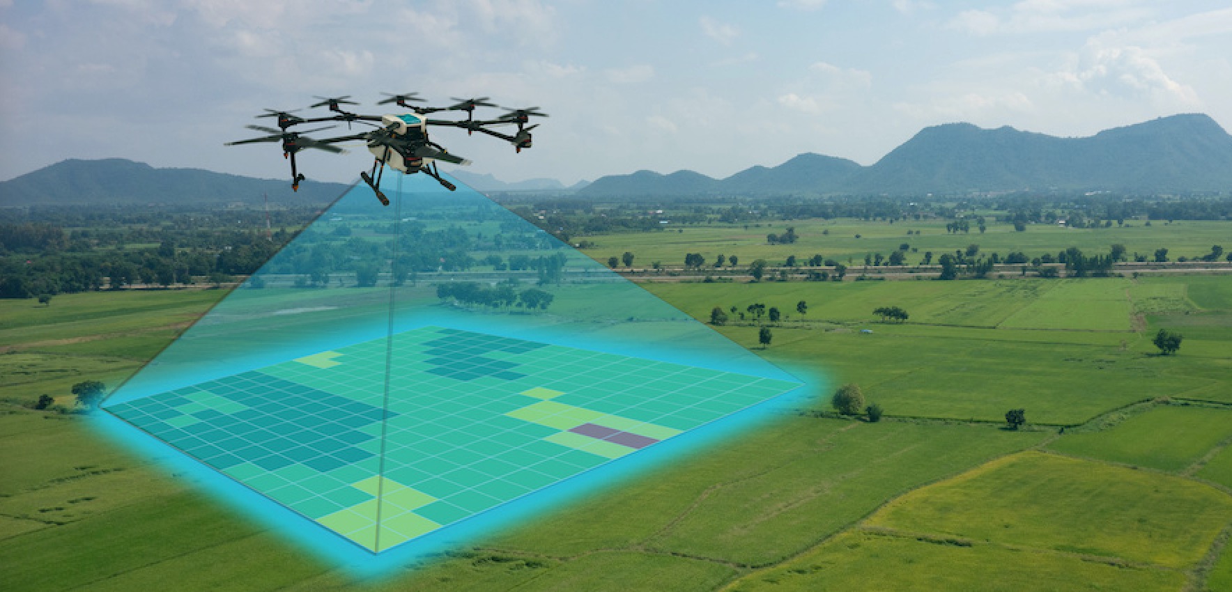
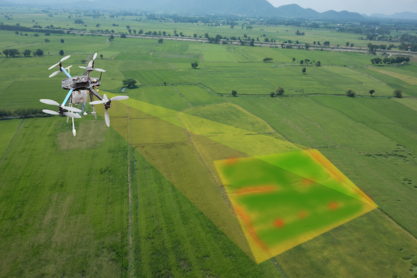
We provide LiDAR surveying services for a wide range of industries including agriculture, urban development, disaster management, and energy. Our technology supports precision agriculture, rapid urban planning, and efficient energy infrastructure development.
- Agriculture and Crop Analysis
- Urban Planning
- Disaster Response
- Solar & Wind Energy Development
Infrastructure & Environmental Applications
From shoreline protection to forest biomass studies, our drone LiDAR data enables stakeholders to make data-driven decisions on land, water, and vegetation management projects.
- Environmental Monitoring
- Mining and Resource Management
- Coastal Erosion Analysis
- Forest Canopy & Biomass Mapping
- Water Flow Modeling
Urban & Utility Mapping
High-precision city modeling and utility corridor mapping are essential for efficient infrastructure planning. Summit Surveying Group offers point-cloud and 3D data products for smart cities and public service upgrades.
- 3D City Modeling
- Transportation Infrastructure Planning
- Utility Corridor Mapping
- Real Estate Visualization
Legal, Insurance & Research Support
We support professionals in legal, academic, and insurance sectors with detailed terrain and structural mapping data. Our reports are often used in legal disputes, insurance claims, and university research projects.
- Insurance & Risk Assessment
- Land Title & Legal Mapping
- Academic Research Partnerships
- Historical Site Documentation
Deliverables & Turnkey Solutions
Summit Surveying Group provides complete solutions from flight planning and data capture to analysis and delivery. We generate easy-to-understand, visually rich deliverables customized for your needs.
- Custom Aerial Reports
- Turnkey Surveying Projects
- 3D Models, DEMs, DSMs, Contours
- GIS-compatible data exports